HEAR
> USGS
> Starr
> Maps of Hawaii
> Stock Maps
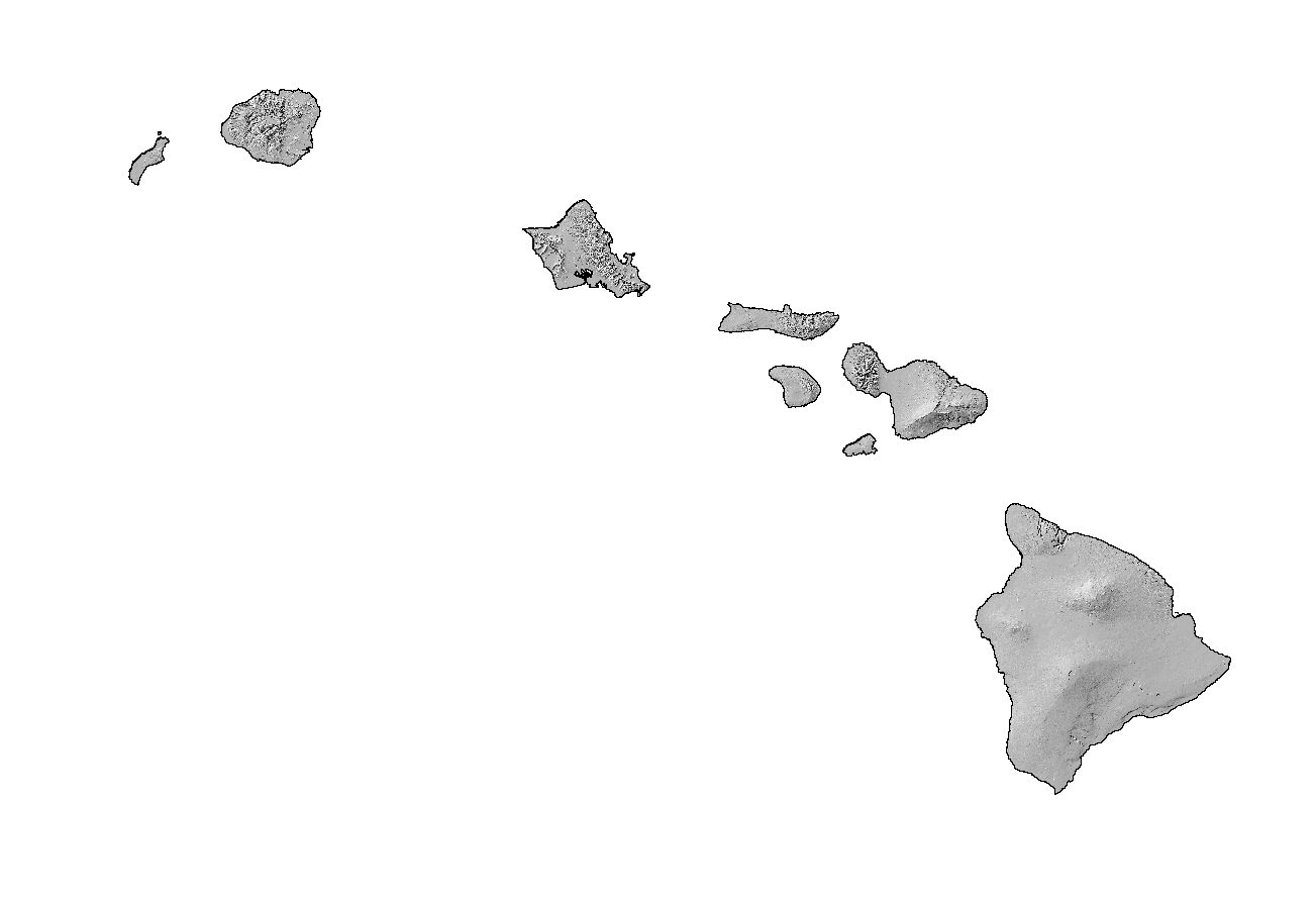
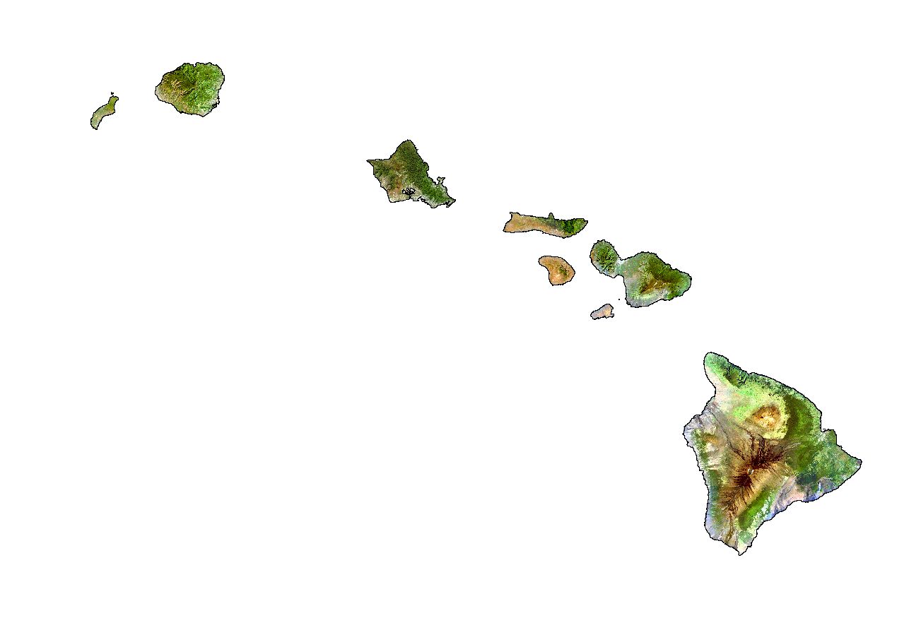
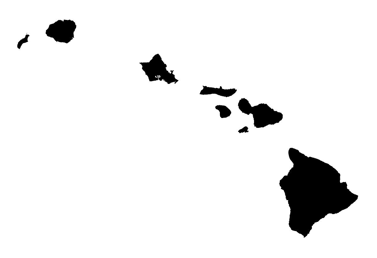
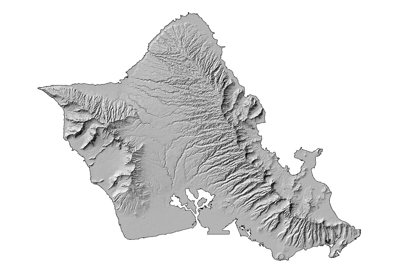
Stock Maps
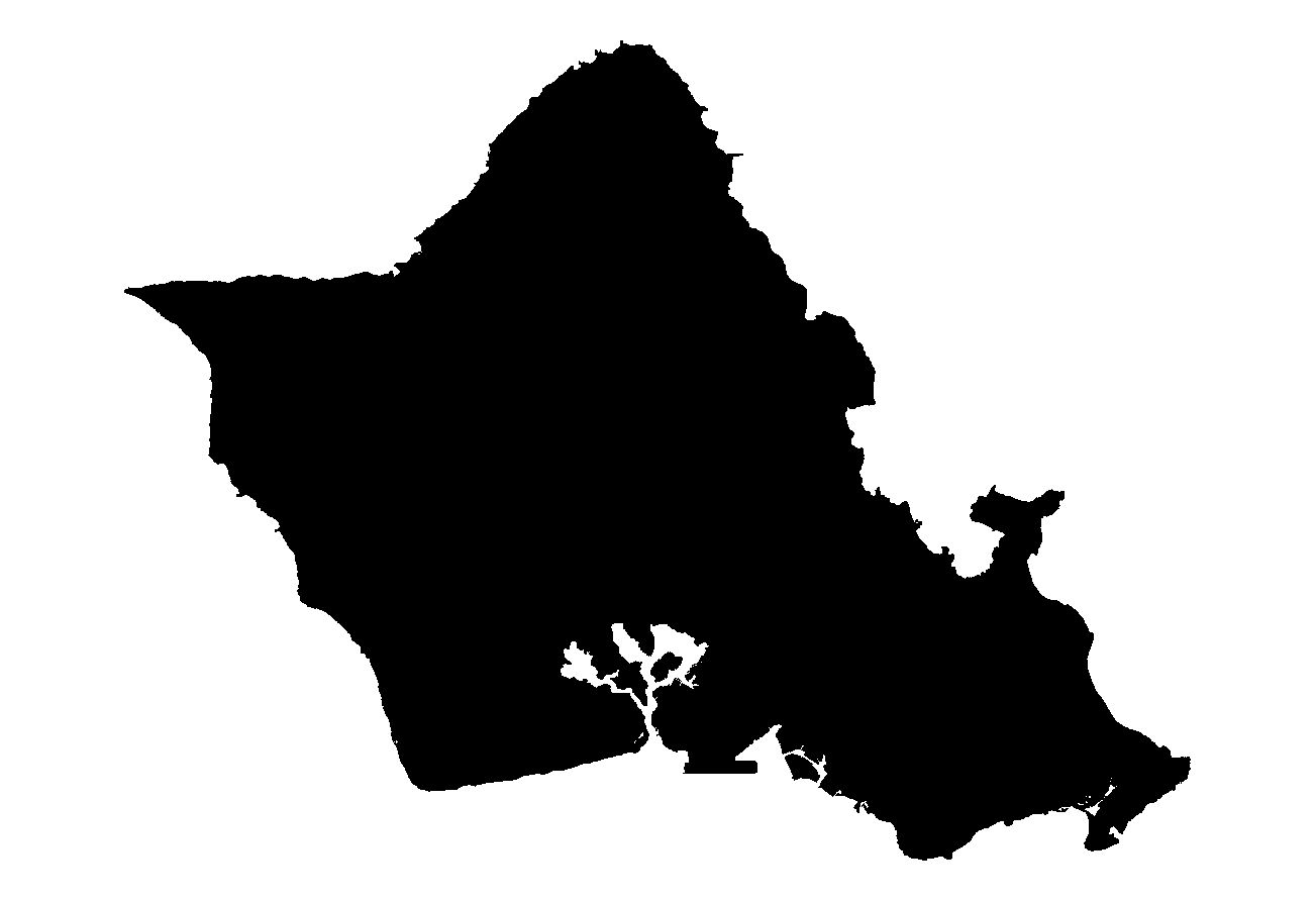
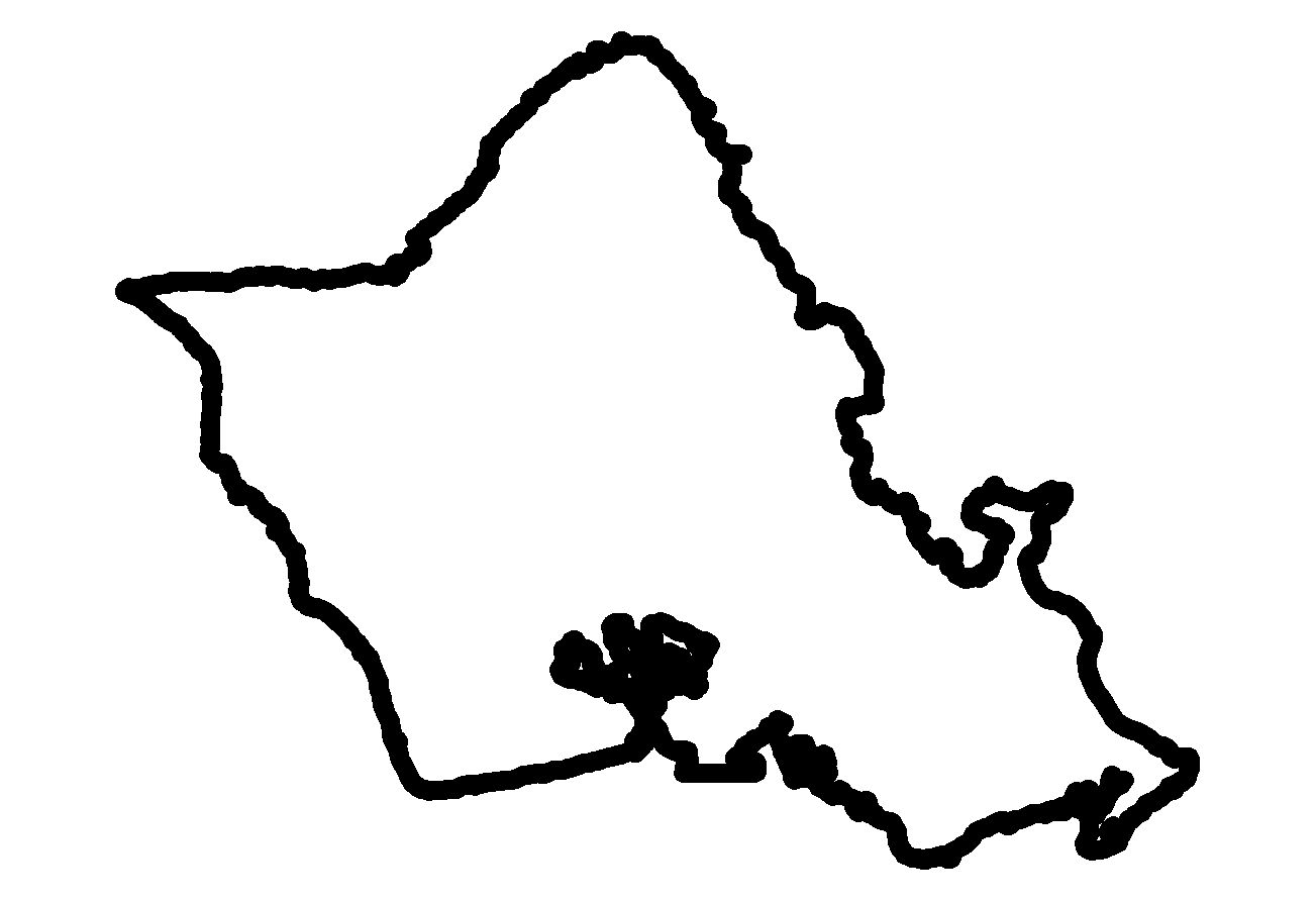
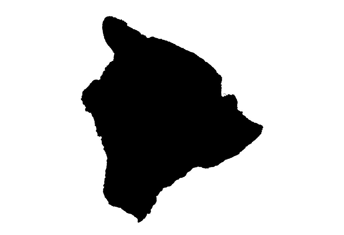
A collection of stock maps for Hawaii.
There are hillshade, landsat, fill, and outline maps for the entire state of Hawaii (USA), as well as the islands of Niihau, Kauai, Oahu, Molokai, Lanai, Kahoolawe, Maui, and Hawaii.
The maps were created by Forest Starr and Kim Starr from publicly available original data maintained by the Hawaii Statewide GIS Program (Note: It is wise to check with publication editors about resolution and format requirements before using these images).
Click on a map to enlarge image, or click on the column heading for more options for that map type.
Comments? Questions? Send e-mail to:
starrimages@hear.org.
This page was created on November 01, 2002 by Starr,
and was last updated on March 03, 2007 by Starr.